Bay of Bengal deep depression: Odisha and Andhra Pradesh are facing heightened weather risks as a deep depression over the west-central and adjoining northwest Bay of Bengal moves toward the north Andhra Pradesh–south Odisha coast. The India Meteorological Department (IMD) expects the system to cross between Visakhapatnam and Gopalpur, close to Kalingapatnam, by the night of September 23.
Deep Depression Heads Towards Eastern Coast
The system intensified into a deep depression while moving west-northwestwards. As of the latest IMD bulletin, it was located about 100 km east-southeast of Kalingapatnam, 150 km south of Gopalpur and 180 km east-northeast of Visakhapatnam. The IMD expects it to cross the coast while remaining a deep depression.
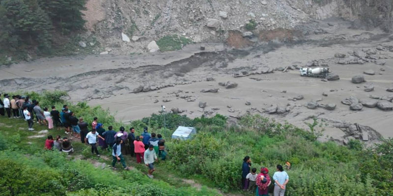
This distinction is important. The immediate threat is not necessarily a severe cyclone but the combination of heavy rainfall, strong winds, rough seas and localised flooding. Coastal and low-lying areas could face waterlogging, while vulnerable hilly areas may experience landslides and disruption of road connectivity.
Heavy Rainfall Could Be the Biggest Threat
The system is expected to bring widespread rain and thunderstorms across affected areas. IMD bulletins indicate heavy to very heavy rainfall over parts of Odisha, particularly southern districts, while north Andhra Pradesh is also facing significant rainfall and strong-wind risks. The sea is expected to remain rough to very rough, with squally winds along the north Andhra coast.
Potential impacts include:
· Waterlogging and localised flooding in low-lying areas.
· Landslides and road blockages in vulnerable hilly districts.
· Falling trees and electricity poles.
· Power interruptions and damage to local infrastructure.
· Disruption to road, rail and coastal transport.
· Rough seas and risks to fishing and marine operations.
Odisha Government Activates Disaster Preparedness
Odisha has moved coastal and southern districts into heightened preparedness, with district administrations instructed to monitor the situation closely and keep shelters ready for evacuation wherever necessary. The state has also deployed 33 Odisha Disaster Rapid Action Force (ODRAF) teams, including teams positioned in Ganjam, Koraput, Gajapati, Malkangiri, Rayagada and other vulnerable districts.
Fishermen have been advised not to venture into the sea, while emergency personnel, rescue equipment and essential services are being kept ready. The preparedness strategy focuses on early evacuation, rapid response and restoration of power and communication networks if disruptions occur.
Why “Arnab” Should Not Be Used Prematurely
The name “Arnab” should not automatically be attached to the present system unless it reaches cyclonic-storm intensity. The IMD's latest bulletin continues to classify it as a deep depression.
The Next 24 Hours Will Be Crucial
The approaching system demonstrates how even a disturbance below cyclone intensity can create serious risks through intense rainfall and strong winds. For Odisha and Andhra Pradesh, the priority now is timely evacuation, protection of vulnerable communities and uninterrupted emergency services.
With landfall approaching, accurate forecasts, local preparedness and public compliance will matter more than the storm's eventual classification. Rapid action during the next several hours can substantially reduce the possibility of casualties and minimise damage to homes, infrastructure, agriculture and essential services.
(With agency inputs)